Rains in Delhi, air quality remains in ‘very poor’ category
Air quality was “very poor” category in Anand Vihar and “poor” category in Punjabi Bagh, Lodhi Road and ITO, according to the Central Pollution Control Board (CPCB).
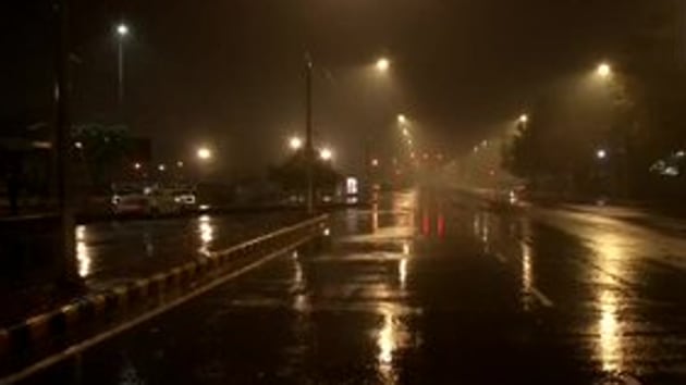
Rain lashed parts of Delhi on Tuesday as the air quality remained in the “very poor” category in several areas of the national capital.

Air quality was “very poor” category in Anand Vihar and “poor” category in Punjabi Bagh, Lodhi Road and ITO, according to the Central Pollution Control Board (CPCB).
The Air Quality Index (AQI) was at 338 in Anand Vihar, 341 in Rohini and at 339 in Mundka—all three in the “very poor” category according to the Delhi Pollution Control Committee (DPCC) data.
Air quality in Delhi had deteriorated on Monday to “very poor” on the CPCB scale. The CPCB’s AQI read 345 on Monday. It was mainly due to the reduction in wind speed from over 20kmph on January 23 to less than 10kmph, the minimum wind speed required in Delhi to disperse pollutants.
The India Meteorological Department (IMD) had on Sunday predicted widespread rain and snowfall in the western Himalayan region, northern plains and states in the country’s east because of a fresh western disturbance (WD).
The met department had said Delhi, Punjab, Haryana, Chandigarh, Uttar Pradesh, parts of Rajasthan, north Madhya Pradesh and eastern India will receive rainfall, accompanied by lightning and hail, over the next three days.
Isolated places in Jammu and Kashmir, Himachal Pradesh and Uttarakhand will receive heavy rain and snow.
Places in Jharkhand, Bihar, Gangetic West Bengal, Assam, Meghalaya, Nagaland, Manipur, Mizoram, and Tripura will also have thunderstorms accompanied by lightning and hail on Thursday and Friday, the IMD said.
“The effect of the WD will be felt from Monday late night when it will bring rain to Punjab and west Haryana. Then, the rain/snow will move towards Jammu and Kashmir and Himachal,” New Delhi’s Regional Weather Forecasting Centre head Kuldeep Shrivastava had said.
“The activity of the WD will be highest during the 28th [January] when it will also bring rainfall to Delhi, after which it will move to Uttar Pradesh and then the northeast,” he had said.
This will be the seventh WD in January. A WD is a storm originating in the Mediterranean region that brings winter rain to the north-western parts of the Indian subcontinent. Usually, there are just three WDs in January.


