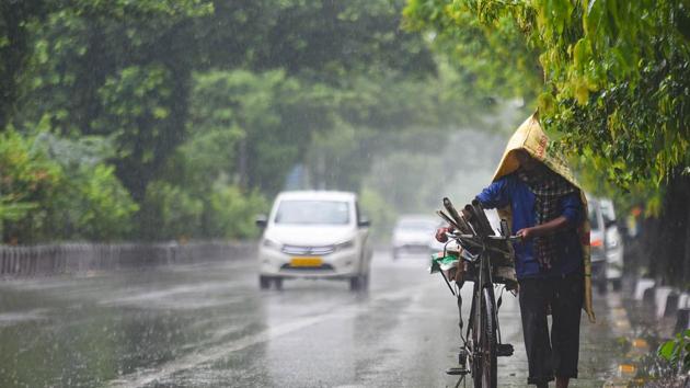
Extreme rain, flooding rivers in central India, more rain likely says IMD
According to the Central Water Commission (CWC), eight dams have breached 100% capacity. Extreme flood situation is declared, when the highest flood level is breached.
New Delhi: Parts of central India recorded exceptional rain in the past two days leading to overflowing reservoirs that are at “extreme flood situation”.

Extremely heavy rain was recorded at Chhindwara, Seoni, Hoshangabad and Harda districts of Madhya Pradesh (MP). Chaurai in MP recorded 41 centimetres (cm) of rainfall. The threshold for extremely heavy rain is 20 cm.
According to the Central Water Commission (CWC), eight dams have breached 100% capacity. Extreme flood situation is declared, when the highest flood level is breached.
CWC on Saturday said the Mahanadi river at Kalma in Janjgir Champa and Surajgarh in Raigarh districts, respectively, in Chhattisgarh are flowing in extreme flood situation with a rising trend.
Also read: Delhi likely to receive light to moderate rain today - IMD
The water level of Hirakud dam on river Mahanadi in Odisha is also rising because of the high precipitation in Chhattisgarh. The Wainganga river in MP’s Seoni district continues to flow in extreme flood situation due to which very heavy inflows are coming into the Sanjay Sarovar dam.
River Narmada at Gadarwara in Jabalpur, MP, is also flowing in extreme flood situation.
Narmada is in flood in its upper and middle reaches up to the Sardar Sarovar dam because of extremely heavy rainfall in its catchment area, CWC’s Saturday report said.
There is a well-marked low-pressure area lying over western MP and adjoining eastern Rajasthan. It is likely to move west and north-westwards during the next two days and weaken gradually, according to India Meteorological Department’s (IMD) Sunday bulletin.
The monsoon trough -- the line of low pressure --- is active and is lying south to its normal position -- from Ganganagar in Rajasthan to the Bay of Bengal.
Widespread and very heavy rain is very likely over eastern Rajasthan and Gujarat on Sunday and over west Rajasthan on Sunday and Monday.
Widespread and heavy rain; thunderstorms are lightning are very likely over north-west India and the western Himalayan region on Tuesday and Wednesday, the bulletin said.
The Union Ministry of Earth Sciences (MoES) had released a report called “Assessment of Climate Change over the Indian Region”, earlier this year. The report had stated that from 1950 onwards there has been a significant rising trend in the frequency and intensity of extreme heavy rain events over central India along with a decreasing trend in the moderate rain events.
A study published in the Nature journal in 2017 by the Indian Institute of Tropical Meteorology (IITM) had concluded that there was a three-fold rise in extreme rains along the west coast and central India between 1950 and 2015.
Get Current Updates on India News, Lok Sabha election 2024 live, Election 2024 along with Latest News and Top Headlines from India and around the world.


