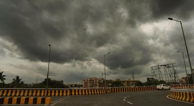
Highest monsoon rain of the season recorded last week: IMD
Experts say there may be an extended monsoon season this year
The week of August 13 to 19 recorded 42% excess rain compared to the long period average (LPA) for the week, according to India Meteorological Department data. This is the highest rainfall received in a week during this monsoon.

The average rainfall recorded during the August 13 to 16 week is 60.2mm, but the country recorded 85.7mm last week, with 93% excess rain over central India; 56% excess rain over south peninsula; 12% excess rain over northwest India and 23% deficiency over east and northeast India. LPA is the average monsoon rain recorded between 1951 and 2000.
“All the classical monsoon components were being met. A low pressure area had formed over Bay of Bengal. The monsoon trough (line of low pressure) was south of its normal position (Ganganagar to Bay of Bengal). There were moist, strong southwesterly winds blowing over the northwestern region. In fact, within a week, we had two low pressure systems—one on August 13 and another on August 19. Monsoon conditions are very active now,” said RK Jenamani, a senior scientist at national weather forecasting centre, IMD.
This also shows that we may have an extended monsoon season this year. “Normally by the last week of August, rainfall reduces very gradually. But this time, the monsoon in July was very weak. It picked up in August, and as of today no monsoon model is showing any likelihood of a reduction in rainfall. A fresh low pressure area is forming over the Bay of Bengal around August 23, which will bring another round of excess rainfall,” Jenamani added.
Also read: After 80% of the season’s rain in 11 days, HS Puri says Delhi’s monsoon woes to be over soon
IMD had issued a data sheet titled “New Normal Dates of Onset/Progress and Withdrawal of Southwest Monsoon over India” based on the analysis of monsoon data from 1961 to 2019 and dates of withdrawal of monsoon based on data from 1971 to 2019 by scientists in IMD Pune. As per the new normal, monsoon withdraws from northwest India around September 17, which is a delay of over two weeks compared to the earlier normal date of September 1. Monsoon withdrawal is much faster now. By September 20, it withdraws from most parts of Rajasthan and some parts of north Gujarat and some western areas of Punjab and Haryana with a delay of only around five days compared to earlier.
IMD had declared the beginning of monsoon retreat only on October 9 last year, and within only five days, it had withdrawn from most parts of the country. The withdrawal took only eight days. Earlier, monsoon would withdraw over about 45 days.
“Modified onset and withdrawal dates have already been issued by IMD. Our forecast also shows that we will record excess rain of about 106% of LPA in August and September so it’s very difficult to say when monsoon will retreat,” said K Sathi Devi, the head of national weather forecasting centre.
Many parts of northwest India, including Punjab, Haryana, and Delhi, are likely to record heavy to very heavy rain till Friday afternoon, India Meteorological Department (IMD) authorities said in their Thursday bulletin.
Heavy to extremely heavy rainfall, measuring over 20 cm, is likely to be recorded on Thursday over parts of central India such as Odisha, Chhattisgarh and eastern Madhya Pradesh (MP).
It has been raining in many parts of the national capital since early morning on Thursday.
Delhi recorded moderate rains on Thursday.
Also read: Five reasons that led to Delhi’s monsoon mess
There is a well-marked low-pressure area over northern coastal Odisha, Chhattisgarh and Jharkhand. It is likely to move westwards gradually and concentrate into a depression during the next 24 hours, the IMD bulletin said.
Due to these favourable conditions, widespread and very heavy rain is likely over Gujarat, Maharashtra, Goa, Madhya Pradesh, Chhattisgarh, Jharkhand, Odisha and Vidarbha during the next three-four days.
Extremely heavy rain is likely over southwest Odisha, Chhattisgarh and eastern MP on Thursday; western MP on Saturday and Sunday; eastern Rajasthan on Saturday and Gujarat over the weekend.
Get Current Updates on India News, Election 2024, Arvind Kejriwal News Live, Bihar Board 10th Result 2024 Live along with Latest News and Top Headlines from India and around the world.


